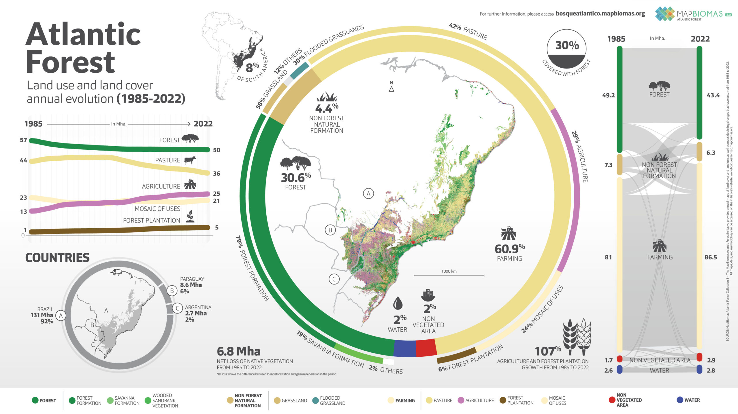
Data from Collection 4 of the Trinational Atlantic Forest MapBiomas present 39 years (1985 to 2023) of annual maps of the biome’s land cover and use in the three countries Argentina, Brazil and Paraguay, with 20 mapped classes, at a scale of 30 m.
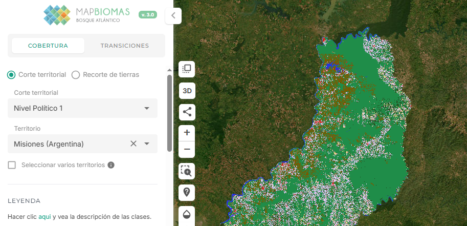
The maps and statistics can be consulted by territorial units, political levels (country, department/province, municipality/department/district), by conservation units and by basins.
Mata Atlântica Tri-nacional
Conozca la metodología de MapBiomas Bosque Atlántico Trinacional y cómo fue organizada la red para generar los mapas y datos de cobertura y uso del suelo
Create custom maps
Join our forum
Access our FAQ
Data download